Heading into 2024, PennDOT District 9's most ambitious undertaking is the U.S. 219 from Meyersdale to Old Salisbury Road project in Somerset County, Pennsylvania and Garrett County, Maryland.
The 8 mile-project will extend U.S. Route 219 as a four-lane route to Interstate 68 in Maryland and while the plan has been narrowed down to two potential paths in Pennsylvania, there remains a lot of discussion, planning and interaction with the public ahead.
To improve communication and engagement with the public, District 9 has created an interactive website where users can find information regarding the U.S. 219 project.
The U.S. 219 Meyersdale to Old Salisbury Road website can be found by visiting the District 9 Construction Project/Roadwork page on the PennDOT's website. The page includes features such as an Interactive Project Map, with the color-coded project routes overlaid on a satellite view. The map's Layer List allows the viewer to highlight environmental factors such as stocked trout streams, trout-natural reproduction streams and FEMA 100-year flood zones around the project.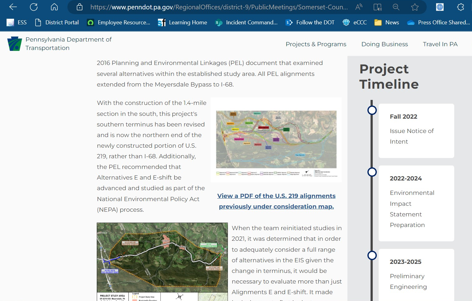
Views can also peruse full-color and illustrated reports, including the 145-page Planning and Environment Linkage (PEL) study, the 17-page Purpose and Need report, and the 27-page Coordination Plan for Agency and Public Involvement plan, three documents that would be costly and cumbersome for officials to print and distribute traditionally. There's also a comprehensive timeline tracking the projects progression.
The site also includes a section to submit a comment to PennDOT Project Manager Nicki Donahoe, who says the website will continue to include updated information and upcoming meetings until a final path (or alignment) has been selected, and then used to inform the public of more specific actions.
"(Website's announcements) will be updated to let folks know when we are back out there doing things like geotechnical drilling," Donahue said. Once the alignment has been officially chosen and public meetings have ended, officials will meet with impacted property owners on a private basis, she added.