When it comes to surveyors, they'll go wherever they're needed to perfectly map out a project. Surveying creeks can often be a dangerous job, and with silt in the creek bed and steep embankments leading to the water, trips and falls are common. Luckily for District 2's Survey Unit, this treacherous activity could soon be washed away thanks to new and innovative methods.
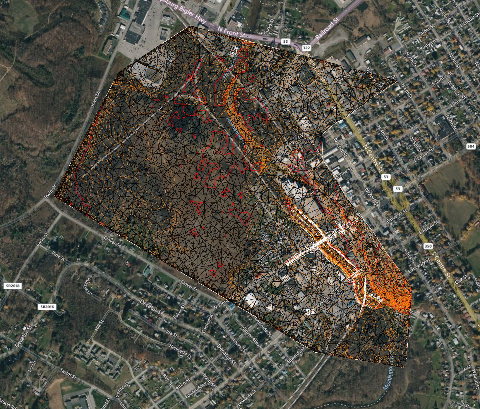
District 2's Survey Unit recently experimented with alternative methods to survey Moshannon Creek in Philipsburg. Ed Natoli's Survey Corps safely used a land, sea, and sky approach to produce a complex 3D digital model of the project area, where they would otherwise be in harm's way.
Land:
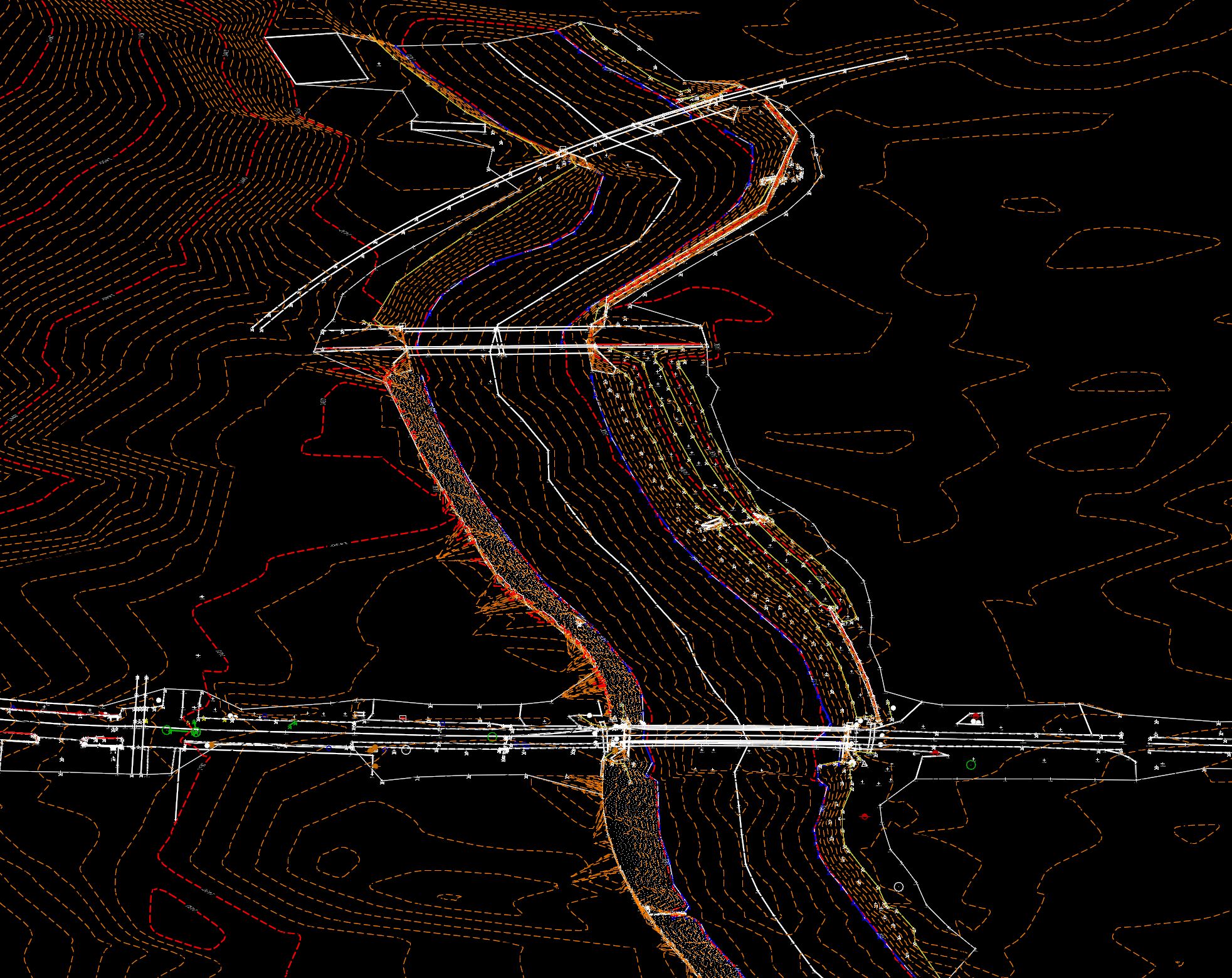
By using conventional surveying methods, terrestrial scanning, and supplementing online data from state sources such as Pennsylvania Spatial Data Access (PASDA), Natoli's crew was able to safely gather topographic information within the entire project area.
Water:
Normally, surveying the bottom of a creek would involve wearing hip boots or chest waders, but the heavily silted bottom of the Moshannon Creek made this a dangerous task. With help from the Pennsylvania Fish & Boat Commission, the District's Survey Unit was able to borrow a "Jon Boat" (shallow bottom row boat) and survey the depths and bottom of the creek safely.
Sky:
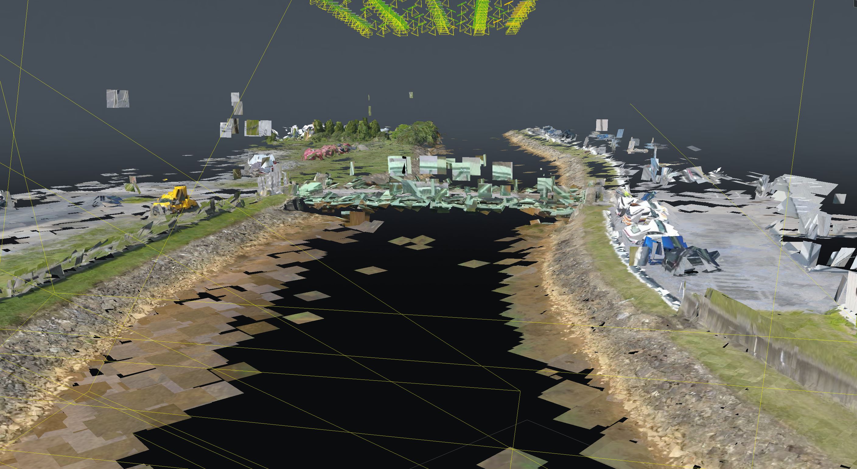
Using small unmanned aerial systems, more commonly referred to as "drones," the Survey Unit was able to supplement the big picture from the sky by using digital photogrammetry software. In this case, Bentley Systems' ContextCapture, which takes the aerial photographs from the drone, stiches them together, and produces a 3D digital terrain model.