Unmanned Aerial Systems (UAS)
Unmanned Aerial Systems (UAS), or drones, are becoming increasingly more prevalent in the highway transportation industry due to their cost effectiveness, efficiency, versatility, and accuracy. They collect images and survey data significantly quicker than traditional survey and mapping practices, and can be used to gain access to hard-to-reach places. They also provide additional benefits to safety, construction, and asset maintenance by decreasing the risk to work crews and the traveling public. They can assist with routine inspections of construction sites and with mapping areas routinely, allowing for potential problem areas to be spotted before an emergency occurs. UAS is a Federal Highway Administration (FHWA) Every Day Counts Round 5 (EDC-5) innovation that Pennsylvania championed.
How Does It Work?
A UAS is a multi-use aircraft that can collect images and high-quality survey and data mapping information. A licensed ground operator flies the UAS around the site where it will automatically or remotely collect data that will aid in the completion of highway transportation projects.
 UAS can be used for various applications, such as construction, survey, bridge inspection, and incident management. This includes conducting emergency inspections and surveys; capturing project photos, time lapses, and additional spatial and three-dimensional (3D) data; assisting with modeling, as-builts, quantifying stockpiles and contour work; and providing different viewpoints of emergency events allowing for better situational assessments of the incident and providing routine mapping of Terrain for Hazard Assessment.
What Are The Benefits?
The use of UAS to assist in various highway transportation activities provides multiple benefits, such as mobility, cost efficiency, and increased safety. Since UAS can move about freely in the air, they are able to traverse to areas that are hard-to-reach or where traditional surveying and mapping practices make the area impossible to access with ease. In the case of bridge inspection, the use of UAS reduces the need for temporary work zones and specialized access equipment, which reduces costs as well as the safety risks to work crews and the travelling public.

Efficiency is another advantage to using UAS. They accurately collect data over large areas faster than traditional surveying and mapping techniques, and they can be used to quickly survey damage to assets. Their data can also be used to create 3D terrain models of the construction site.
Innovation In Motion
PennDOT continues to work on training development, UAS data storage, standard language for position descriptions, and publication updates to expand the use of UAS on its projects. To further advance the use of UAS in Pennsylvania, FHWA awarded STIC Incentive Program funding to two UAS projects.
- In 2019 the Unmanned Aerial Systems (UAS) Strategic Plan received funding to develop the UAS, or drone, program and associated policies in Pennsylvania in a partnership between PennDOT's Bureau of Aviation, and the Highway Administration Deputate.
- In 2020, a partnership between the Pennsylvania Turnpike Commission and Pennsylvania State Police (PSP) received STIC Incentive Program funding to purchase UAS equipment for roadway incident management. Using drones for crash reconstruction can result in significant time savings and lower lost toll revenue when crash reconstruction closes sections of the Turnpike.
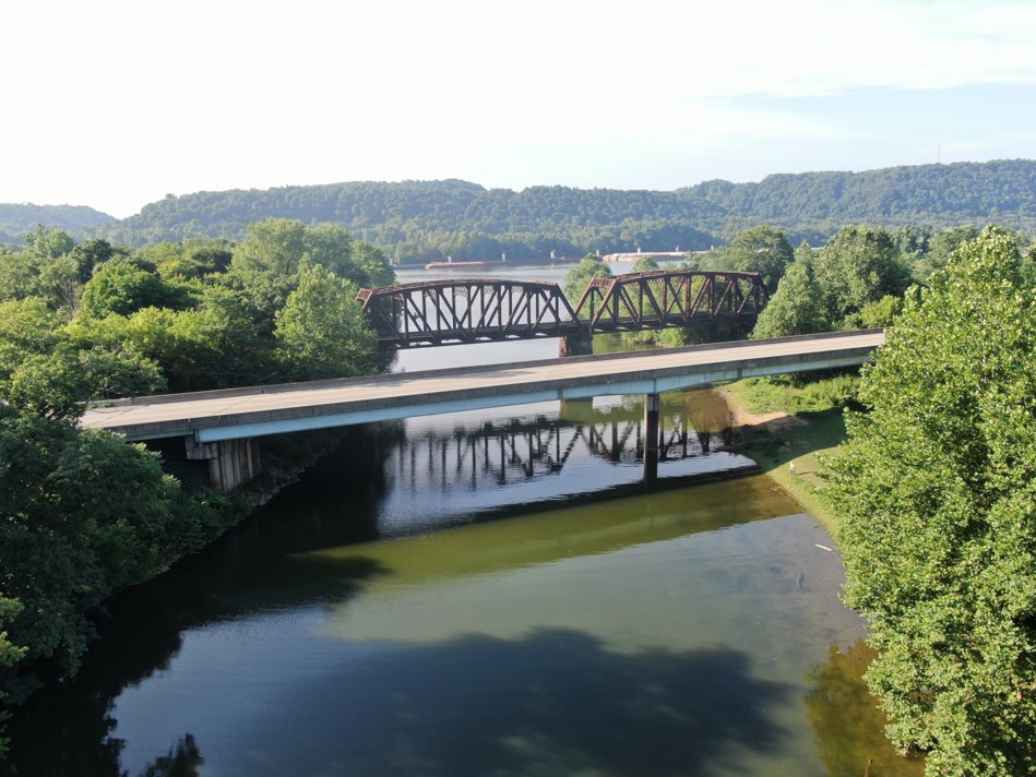
PennDOT’s District 11 is using UAS equipment in a variety of ways, including as part of the Kenmawr Bridge Replacement Project in Allegheny County. UAS flights are typically conducted monthly or as needed for critical work items. Using the “Reconstruct” software, a PennDOT consultant uses the output from the flights to generate a 3D model, which is then tied to the project schedule to monitor progress.
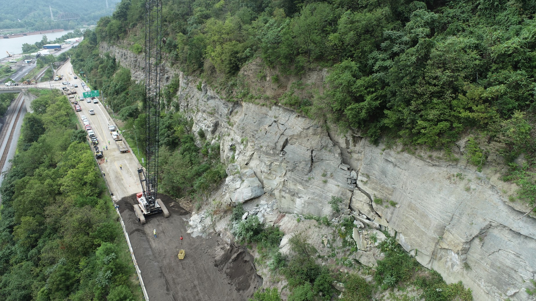
District 11 has also used drones to aid in incident management and disaster response. In the unique geographic landscape of western Pennsylvania, falling rocks and landslides are pretty common events. When a teetering boulder closed the Glassport-Elizabeth Road near Elizabeth, Allegheny County, the decision was made to blast the boulder off of the rocky slope above the roadway. PennDOT recorded the blast of the boulder using a DJI Phantom 4 Pro V2 drone, which eliminated the risk to department personnel and helped monitor the status of the railroad further below for possible debris. This enabled PennDOT personnel, including the UAS pilot, to stand about a quarter mile away. The required minimum distance was 500 feet away from the blast.
With UAS technology constantly evolving, PennDOT will continue to use its staff and industry partners’ support to expand the applications of UAS in transportation.
More Information
For more information about this innovation, contact the STIC Management Team.