Subsidence Impacts Forecasting Methodology to the I-70 Alignment
Purpose: The purpose of this project is to investigate the influence of longwall mining on highway alignments and associated slopes and embankments, evaluate how the highway deforms during undermining with a focus on determining its transient characteristics, utilize models to better understand subsidence impacts to the highway alignment, and determine how other future highway alignments could be impacted.
Construction - Project No: PITT 016
Anticipated Outcomes
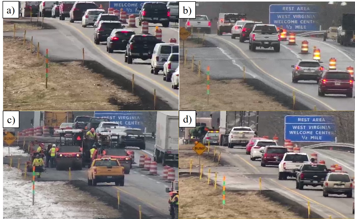
Alliance Coal’s Tunnel Ridge Mine is scheduled to undermine a portion of Interstate-70 in Pennsylvania sometime during early 2019. The overall area encompassing the Tunnel Ridge permit extends from the West Virginia state line to the Claysville interchange. The Tunnel Ridge mine uses the longwall mining technique where large rectangular coal panels, measuring approximately 1200-ft wide by more than 10,000-ft long, are mined. The extraction of these panels can produce a subsidence basin with maximum vertical drops of 4 to 5-ft over a several month period.
Monitoring the formation of the subsidence basin is planned using both traditional land surveying techniques as well as advanced 3D dynamic LiDAR scans. In addition, embankments carrying the highway and the associated colluvium slopes will be monitored to more fully understanding the nature of the anticipated highway impacts. Matching the formation of these impacts with transient surface deformations will provide the necessary background to aid in developing better engineering interventions.
In particular, this project intends to:
- Investigate the influence of longwall mining on highway alignments and associated slopes and embankments.
- Evaluate how the highway deforms during undermining with a focus on determining its transient characteristics.
- Utilize models to better understand subsidence impacts to the highway alignment, and where possible.
- Determine how other future highway alignments could be impacted.
Research Partner:
University of Pittsburgh |
Principal Investigator:
Anthony Iannacchione |
Project Cost:
$516,348 |